I was specifically interested in the disappearance of Block 8 in the Dakota Estate, but numerous checks with researchers, the urban authority and the heritage board for its demolition brought about little satisfaction.
A check on the maps of the area from the historical maps of Singapore showed that Block 8 must have had been demolished between 1988 to 1991.


The reasons for its demolition are from a variety of non-authoritative resources: voices from the ground, tenants, and residents- that it was due to ground instability that Block 8 stood on, and was eventually demolished. Others say that it was kept hush hush to prevent alarming residents. Many did not bother because many blocks were going to be converted to rental units anyway.
Using the current system and format of district code (Geylang/Eunos) and block number, S390008 is a tribute to the mystery of Block 8, imagining what it would be if still standing, named in its postal code.
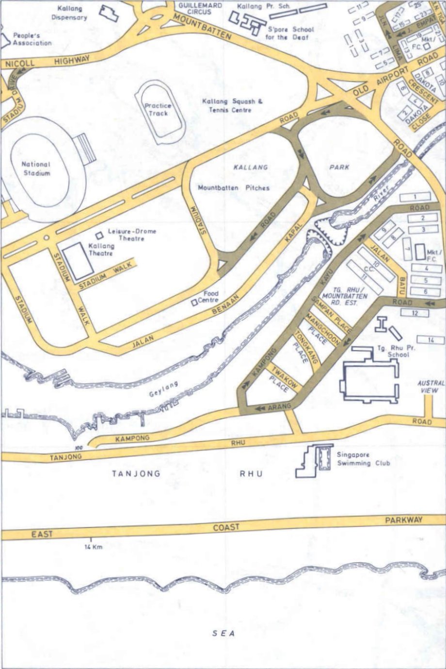
The intervention is located in the photos below:


Special thanks to the National Heritage Board who directed me to the maps and URA for the town’s masterplan.

You must be logged in to post a comment.